

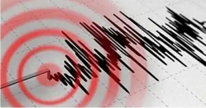
Islamabad – Intense earthquake tremors were felt in the federal capital, Islamabad, and its surrounding areas. The tremors were also felt in Azad Kashmir, Murree, Rawalpindi, and nearby regions. Following the quake, people rushed out of their homes while reciting the Kalma Tayyiba.
According to the Seismic Monitoring Center, the earthquake had a magnitude of 4.8, and its epicenter was located 8 kilometers from Rawalpindi at a depth of 17 kilometers. As of now, no reports of casualties or financial losses have been received, and all emergency response teams are on high alert.
Why Do Earthquakes Occur?
Experts explain that the Earth’s crust is made up of three major tectonic plates: the Eurasian Plate, the Indian Plate, and the Arabian Plate. When underground heat builds up, these plates shift, causing the ground to shake, which is what we feel as an earthquake.
The seismic waves generated by an earthquake travel outward in a circular pattern. Earthquakes and volcanic eruptions are more common in areas where these plates meet.
Experts also note that regions which experience a major earthquake are more likely to face another one in the future. Two-thirds of Pakistan’s territory lies on fault lines.
From Karachi to Islamabad, Quetta to Peshawar, Makran to Abbottabad, and Gilgit to Chitral, all cities are at risk of earthquakes, with Kashmir and Gilgit-Baltistan being the most vulnerable. According to seismic data, Pakistan is the fifth most earthquake-prone country in the world.

Read more: Deadly 7.1 Magnitude Earthquake Hits Tibet, Death Toll Rises to 32
Pakistan is located on the northern boundary of the Indian Plate, where it meets the Eurasian Plate. This ongoing process of the Eurasian Plate sinking and the Indian Plate moving forward has been happening for millions of years.
Most of the fault lines running through two-thirds of Pakistan are active, causing low to moderate earthquakes to occur intermittently.
Kashmir and Gilgit-Baltistan lie at the northernmost boundary of the Indian Plate, making these regions particularly sensitive to seismic activity.
Major cities like Islamabad, Rawalpindi, Jhelum, and Chakwal are in Zone Three, while cities such as Quetta, Chaman, Loralai, and Mastung are located on the western edge of the Indian Plate and are classified as Zone Four, indicating high-risk areas.
Some coastal areas in Sindh, including Karachi, lie on dangerous fault lines. These regions are situated at the junction of three tectonic plates, making them prone to both earthquakes and tsunamis.
Experts suggest that only the upper Sindh and central Punjab regions are not situated on fault lines, and therefore, they are considered relatively safe from seismic threats.

Comments are closed, but trackbacks and pingbacks are open.